― Sheri S. Tepper, The Visitor
Understand the global doppler radar (NEXRAD) network and the role it plays in weather control:
The rising/lowering of clouds are longitudinal pressure waves. The frequency of NEXRAD is in the microwave band (like the ovens), meaning that it is operating at a molecular, not atomic, level. The radio pulses are modulating the inter-atomic distances between water vapor molecules, which is easily done because a cloud is in the vapor state with two degrees of freedom.
Demonstration: put a sheet of paper flat on your desk. Moisten fingertips and place a finger from each hand on opposite sides of the paper and push together. What happens? The center of the paper jumps up in a wave-like arc. This is what is happening with cloud layers - it is a compression in the horizontal, radial direction, not the vertical, which is why no effects are exhibited on the ground or the sky above (which would affect overflying aircraft).
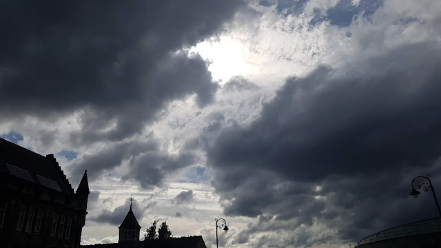
The rolling clouds are a result of shear strain between vertical pressure zones moving in opposite directions. Look at the spots on Jupiter and Saturn... opposite flows produce rotation. You can identify the direction of air movement in the pressure zones by the direction of rotation. This is quite common in coastal areas, particularly near sunset, because the air over the ocean moves very differently than the air over land and is responsive to thermal changes.
Planar polarization is in the low-speed (1-x) range. This "dual polarization" includes the orthogonal polarization plane, so when it interacts with water, it will no longer be planar but circular polarization, moving it into the intermediate speed (2-x) range, due to the 2D shearing effect. Circular polarization causes torque, which means it creates excess energy within the water droplets, causing them to spin and heating them up, basically making micro-tornadoes in the cloud, causing drops to get sucked together into much larger drops--torrential downpours.
----------------------------------
Now watch the time-lapse video below, along with countless others on our Youtube channel, then ask yourself if you still think this is natural weather....
27 July 2018
https://youtu.be/yyKigeUfzGk


No comments:
Post a Comment